Work experience
Mapex Jsc.
Project manager
During my work I have to plan, execute and finalize projects according to strict deadlines and within budget. This includes acquiring resources and coordinating the efforts ot team members and third-party contractors or consultants in order to deliver projects according to plan. Also I define the project's objectives and oversee quality control throughout its life cycle. One of the projects I am in the head of is about specially designed GIS software for the municipalities. My responsibilities in this projects are to deal with all marketing and business activities for it.
Photogrammetry specialist / from 01.12.2006 Head of photogrammetry department /
During my work experience in GIS-Sofia Ltd. I took part in lots of projects, controlled the work in the Photogrammetry Department, organized the aerial flights over the territory of Sofia with foreign companies, attended many conferences in Bulgaria and abroad and I started using various software products. Meanwhile I had to organize conferences and help with the PR activities of the company. I also helped Autodesk resellers in Bulgaria (Mapex Jsc).
Some conference participations:
Publications in international and local magazines:
- "Close-range photogrammetry with non-metric cameras" - PDF
- “Geodesy, Cartography and Land management” (Bulgarian) - Digital photogrammetry in GIS-Sofia - PDF
- “Cartography and Land management” (Bulgarian) - The principles of holography - PDF
- "Application of Quickbird Satellite imagery for updating cadastral information" - PDF
Projects:
- TOBEL - Geographic Information System for the Municipalities
- "Upgrade of technologies in small and medium-sized enterprises" under the Operational Programme "Development of the Competitiveness of the Bulgarian Economy" 2007-2013;
- Achieving compliance with internationally recognized standards and introduction of management systems in enterprises";
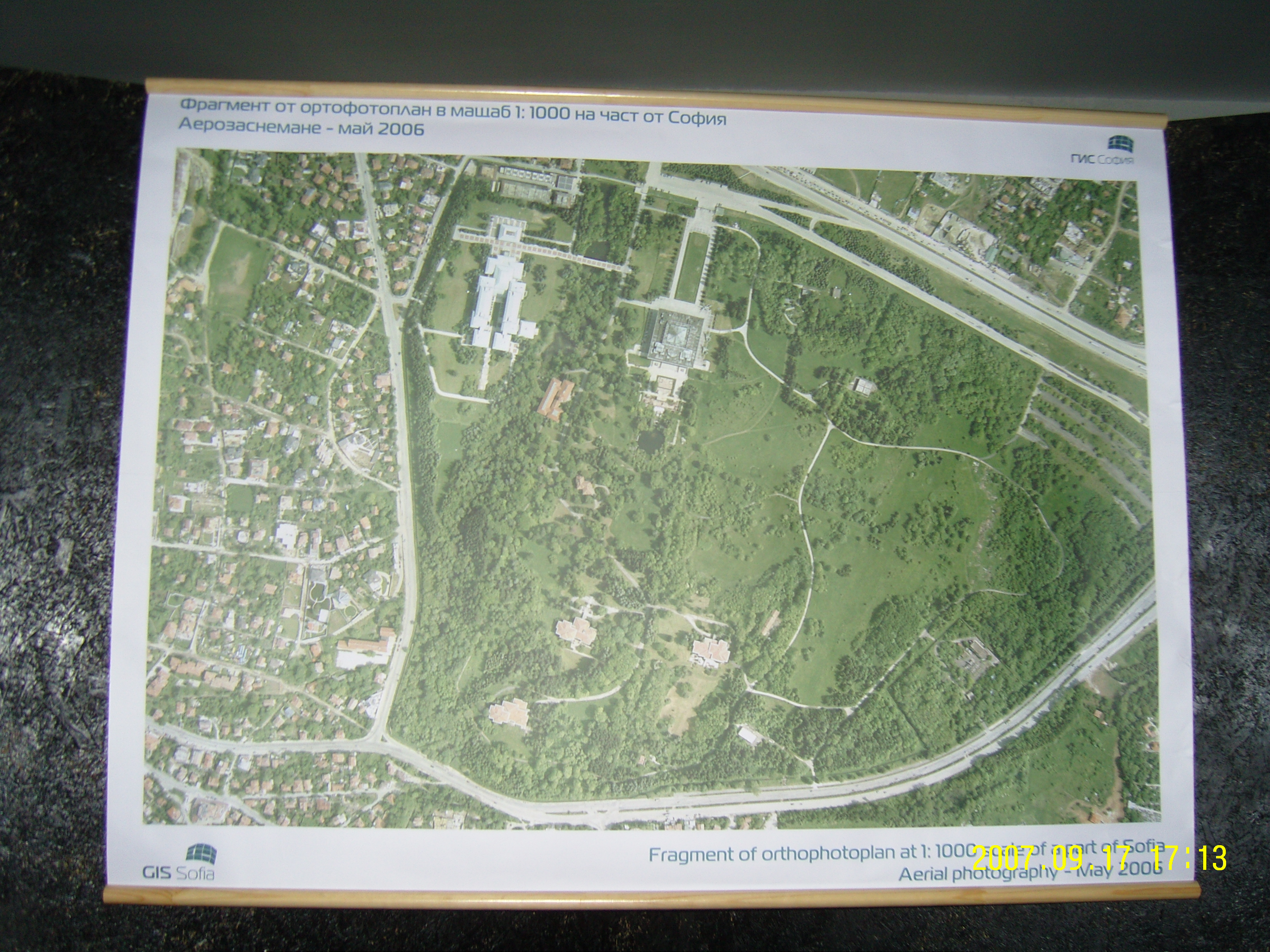
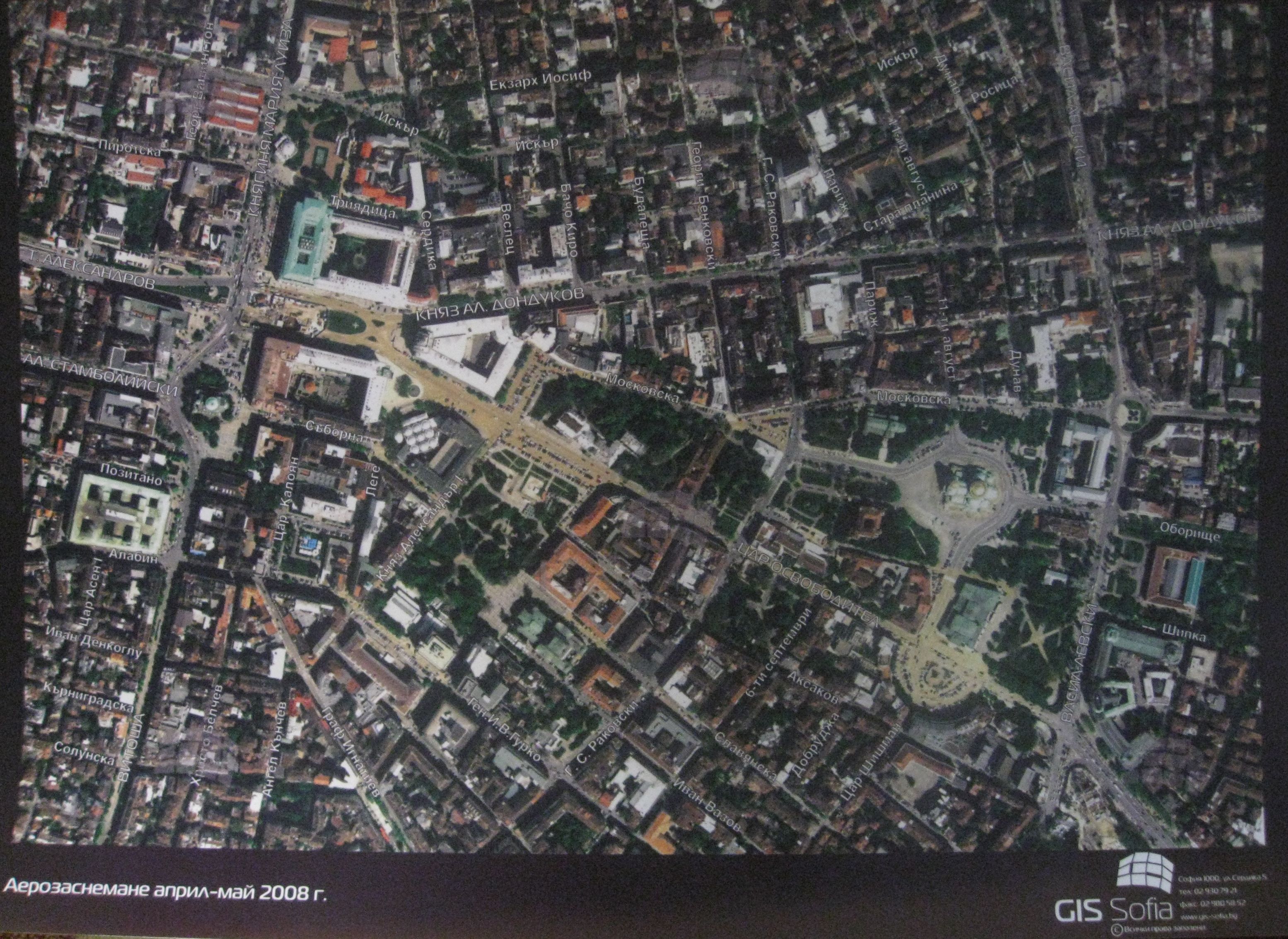
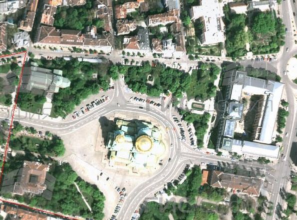
- Producing and Updating Large Scale Topographic and Cadastre Maps and Ortophotoplans in Digital and Graphic Form;
- Aerial and Satellite Image Processing with Photogrammetric and GIS Software;
- 3D City Model of the Central Part of Sofia;(3D model of Hilton hotel), (technology for 3D with StrabVR)
- Special Maps Producing from Aerial and Satellite Image;
- Improving the Quality of Satellite Images;
- Architectural 3D Project of TV Tower in Sofia;
- Architectural 3D Project of Vitosha Blvd. in Sofia;
- Architectural 3D Project of a Hotel in Borovetz;
- 3D Visualisation of the Overflow of the Iskar River in Sofia Region;
- 3D visualisation of buildings from architectural plans.
